GreenShot
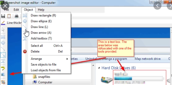
Capture the entire screen, a selected window or a specific area as an image. Add arrows, highlights and brief annotations to produce clear screenshots for field reports, user manuals and technical support requests.

Technical Knowledge Base
Capture the entire screen, a selected window or a specific area as an image. Add arrows, highlights and brief annotations to produce clear screenshots for field reports, user manuals and technical support requests.
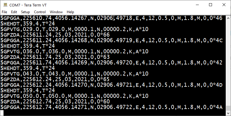
A terminal emulator used to communicate with instruments over a serial port. Set the COM port, baud rate and communication parameters to monitor and record data from GNSS receivers and measurement sensors, or to send commands to the instruments.
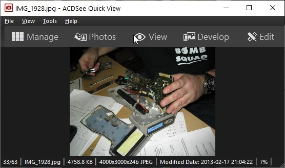
Software for viewing photographs and screenshots. This link leads to ACDSee Free; it should not be confused with the brand's paid products. Check the terms of use for the version offered before installing it.
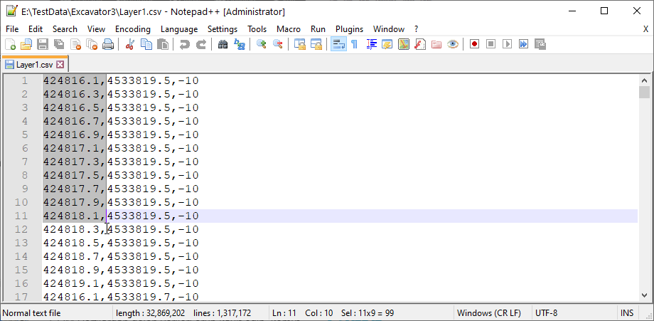
An open-source editor for text and code files. Syntax highlighting, search and replace, and column selection make it easier to inspect measurement logs, configuration files and text files used for data exchange.
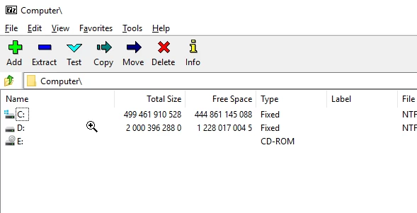
An open-source tool for compressing files and folders, extracting archives and packaging project deliverables. Create well-organised archives before sharing large datasets, and inspect their contents before extracting files.
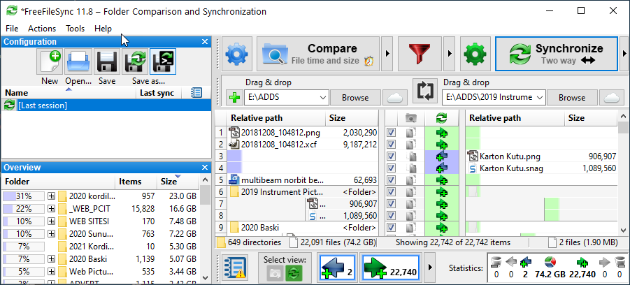
Compare two folders to identify new and modified files. It can help keep copies of field data and project folders up to date. Check the synchronisation direction and any files marked for deletion before proceeding; synchronisation alone is not a versioned backup.
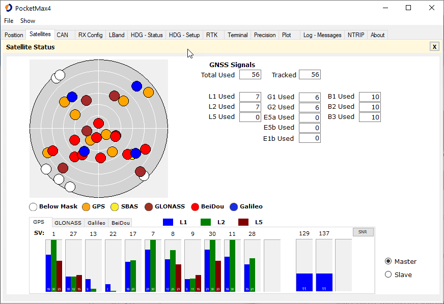
A manufacturer's utility for configuring the connection and operating settings of compatible Hemisphere GNSS receivers. Select the package appropriate to the receiver model and firmware version, and save the existing device configuration before making changes.
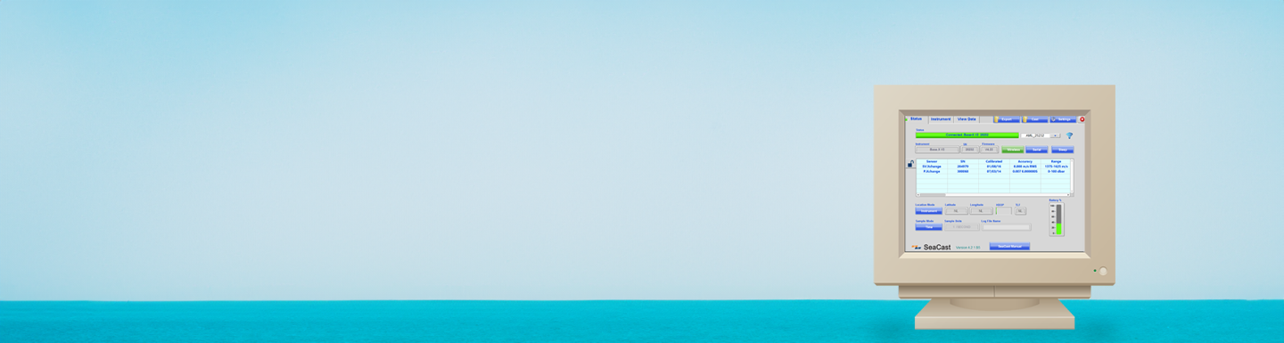
A utility for communicating with compatible AML Oceanographic instruments and transferring recorded measurement data to a computer. Choose the appropriate manufacturer's package with regard to the instrument model, connection type and software version.
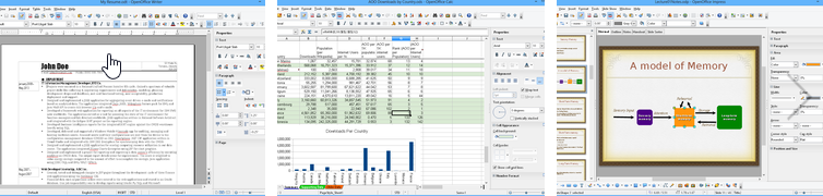
An open-source office suite for creating text documents, spreadsheets and presentations. Suitable for draft reports and project schedules. Check formatting and formulas before delivering documents exchanged between different office suites.
A reader for viewing, printing and annotating PDF documents, suitable for reviewing datasheets and reports. Additional functions, such as extensive editing of PDF content, may require a paid product or subscription.

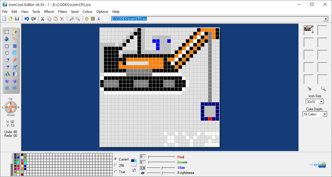
An editor for creating icons for software interfaces. This tool is part of our legacy software archive; check the download page for free-use or trial conditions and operating-system compatibility.
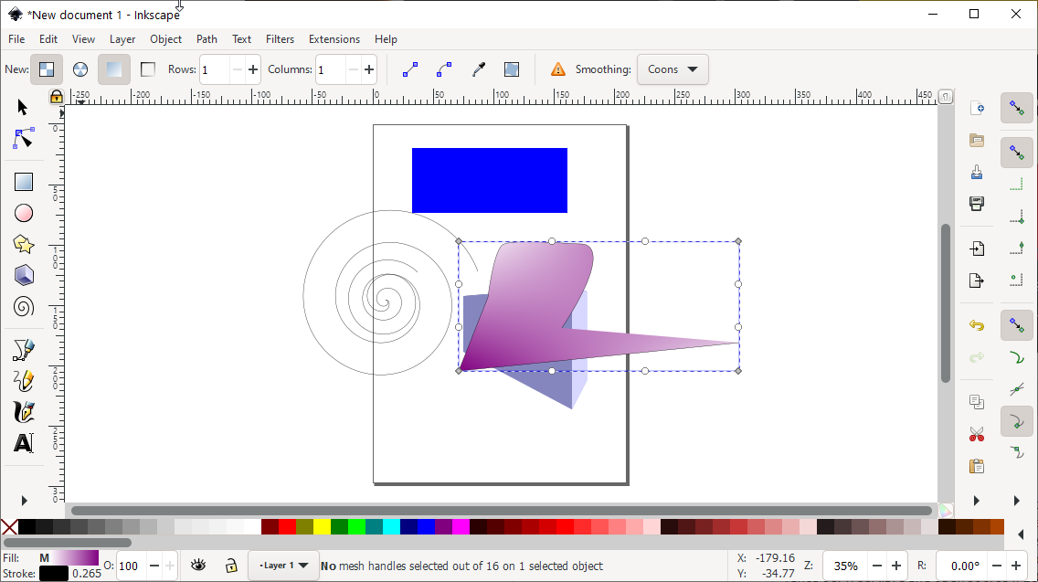
An open-source editor for logos, diagrams and scalable vector drawings. It can be used to prepare explanatory figures, equipment layouts and presentation graphics for technical reports.
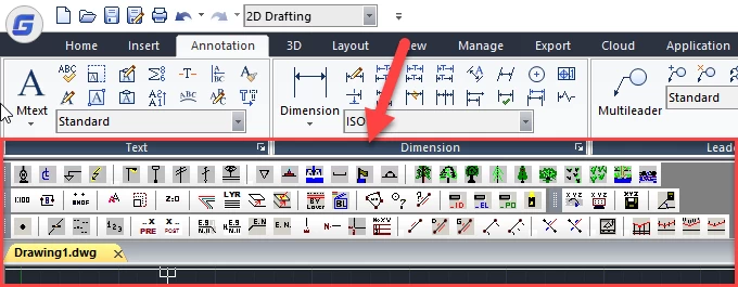
An open-source collection of drawing and surveying tools for CAD environments supporting AutoLISP. It simplifies repetitive tasks such as coordinate exchange, setting out, elevation annotation and profile work. See the technical information page for installation instructions and available commands.
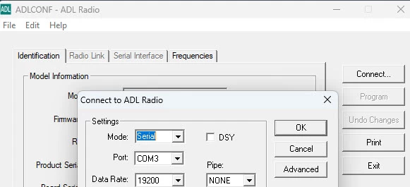
Configuration software for compatible Pacific Crest radio modems. Select the version appropriate to the modem model and connection cable. Configure frequencies and transmission parameters within the device's authorised operating conditions.
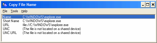
A small utility for copying a file or folder path into another application. It is useful when adding data file locations to reports, scripts or software settings.
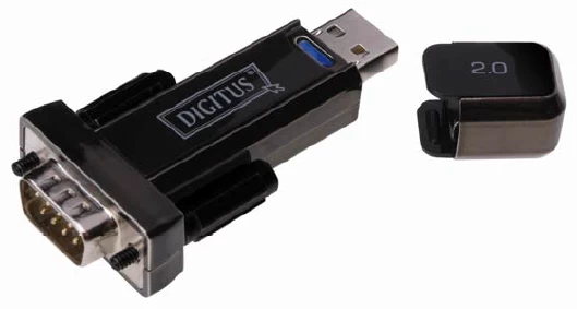
A driver that allows the computer to recognise Digitus USB–RS232 converters as serial ports. It connects measurement instruments with RS232 outputs through USB. Select the driver for the converter's model number and your operating system; after connection, match the COM port and baud rate to the instrument settings.
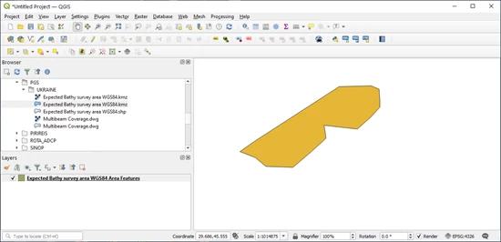
An open-source GIS application for viewing, editing and analysing geospatial data and producing maps. It can be used to assess survey points alongside other layers, work with coordinate reference systems and create project maps.
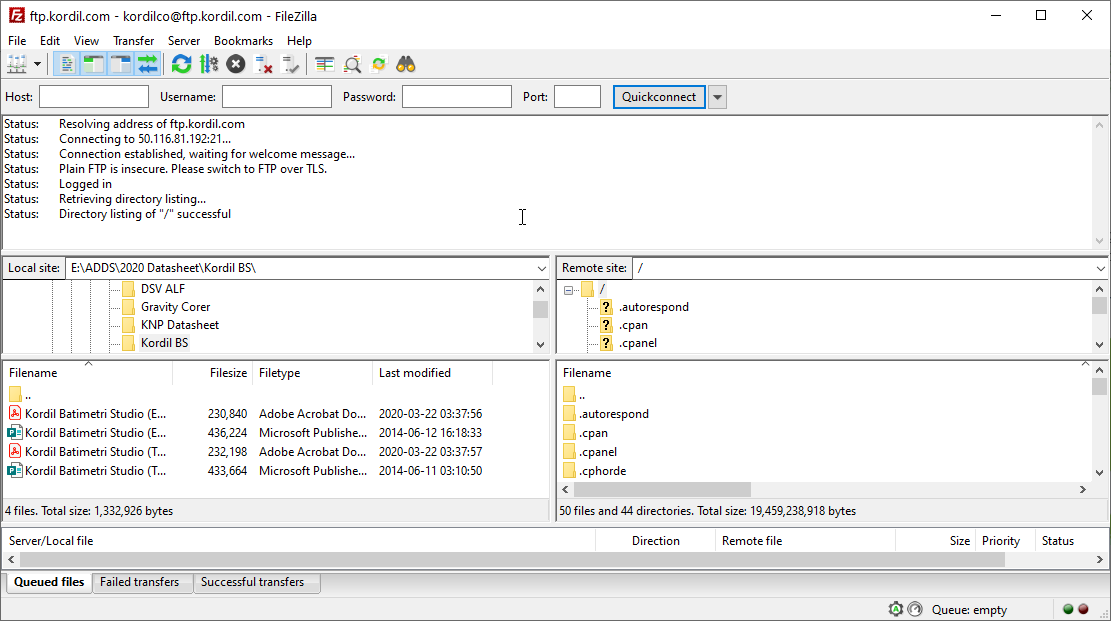
A client for exchanging files with remote servers. It can be used to transfer project files, monitor transfer queues and manage website files. Connect to your account using a secure connection method supported by the server.
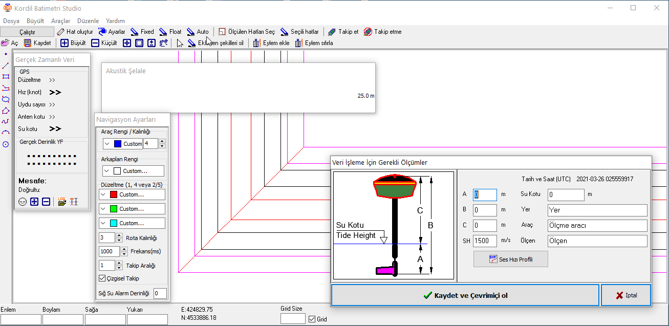
Kordil software for preparing and processing bathymetric data. The free/demo version presented in this archive is not intended for live survey recording; it can be used for data preparation and to explore the software. Consult the user manual for functions and workflows.
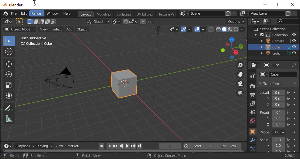
An open-source application for 3D modelling and visualisation. It can create presentation graphics from equipment, structural and site models. Use it to communicate results visually, rather than as a substitute for engineering calculations.
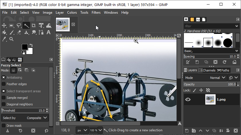
An open-source editor for photographs and other raster images. Cropping, colour adjustments and annotation layers help prepare field photographs for reports. Retain the original files separately where images serve as measurement evidence.
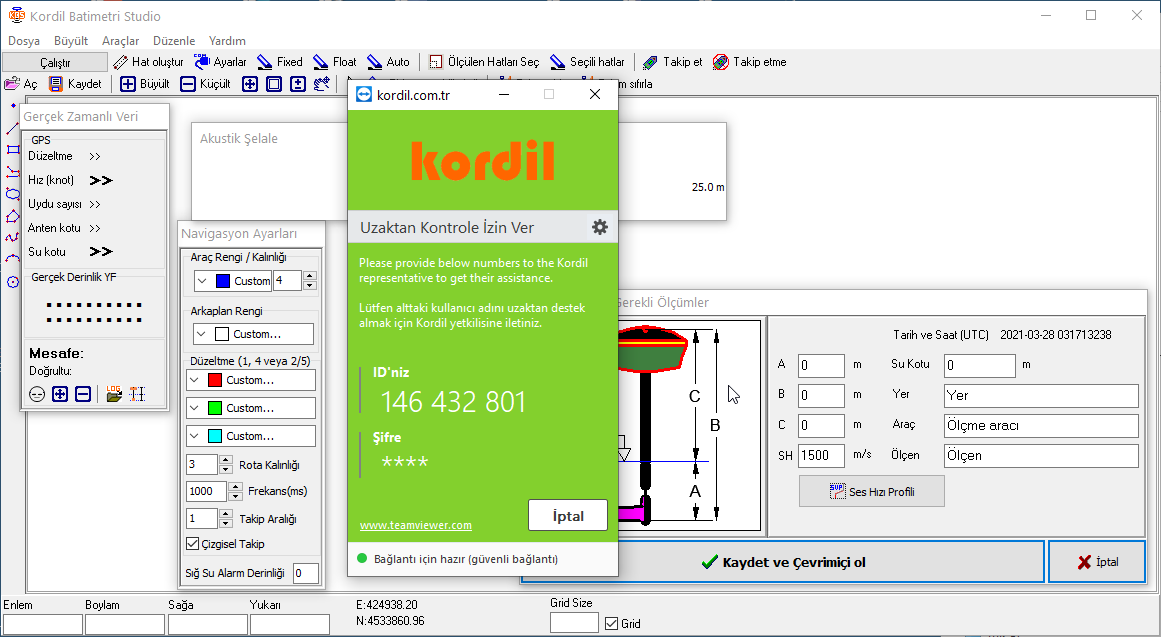
A TeamViewer-based support utility for remote computer access with the Kordil technical support team. It enables screen sharing and joint inspection during a support session. Start a connection only with a support representative you have authorised.
An open-source document and information management system developed by Kordil. It supports organising and searching documents, tracking revisions and managing user permissions. Source code and installation information are available on the technical information page.

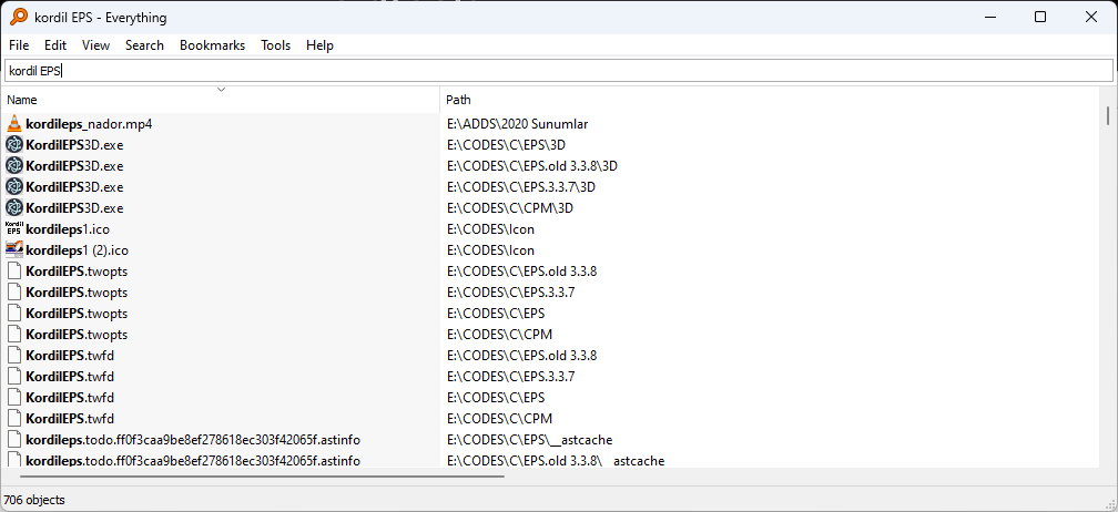
A tool for quickly searching file and folder names on Windows computers. It makes it easier to locate files by name or path among large collections of field records, photographs and project data. Searching file contents is different from searching file names.
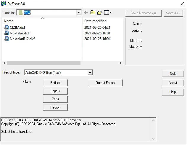
A utility for exporting the coordinates of points and line vertices in DXF drawings as XYZ data. Check units, elevations and the coordinate reference after conversion; converting a file format alone does not perform a datum transformation.
A utility for archiving files and folders, extracting compressed files and managing archive operations. It can package project data for sharing. Check the output format and destination folder before starting.
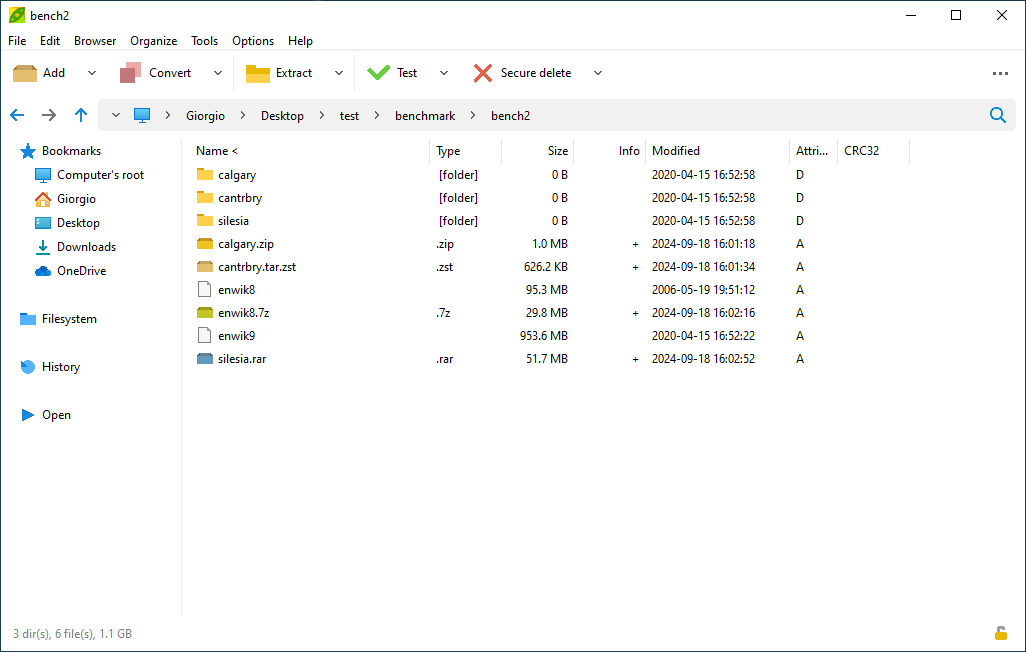
Below are the uses, intended users and interface examples of software recommended by our visitors. Click a screenshot to enlarge it.
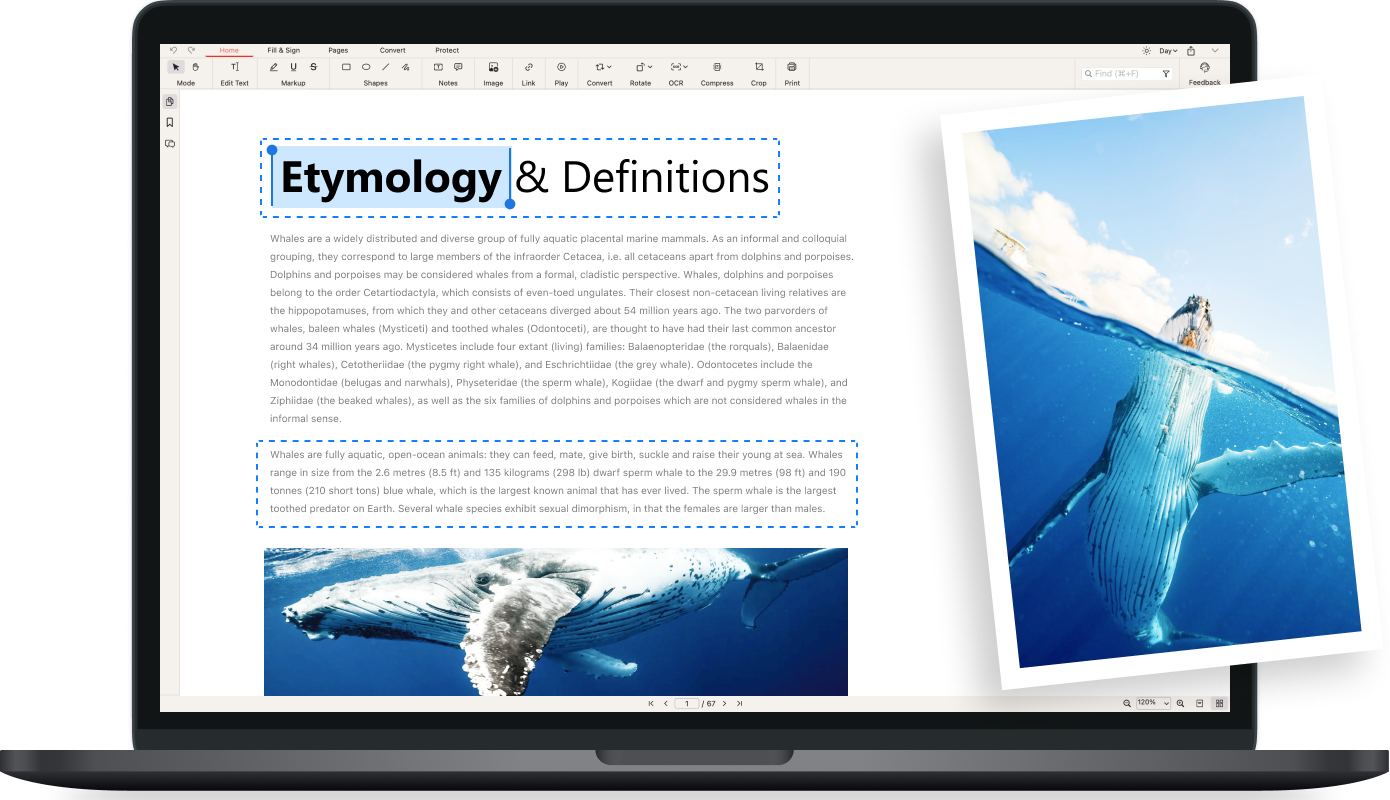
A PDF utility for reading documents, editing text and images, adding annotations, and combining or splitting pages. It helps recognise text in scanned documents with OCR and convert PDF files into editable Office formats. It is useful for engineers, office staff and students working with technical reports, specifications, quotations and lecture notes. For example, you can combine report attachments into one file, annotate a datasheet with review comments or extract text from a scanned document. Desktop and online tools may offer different features; check the project website for the option that meets your needs.
Official Website and Download →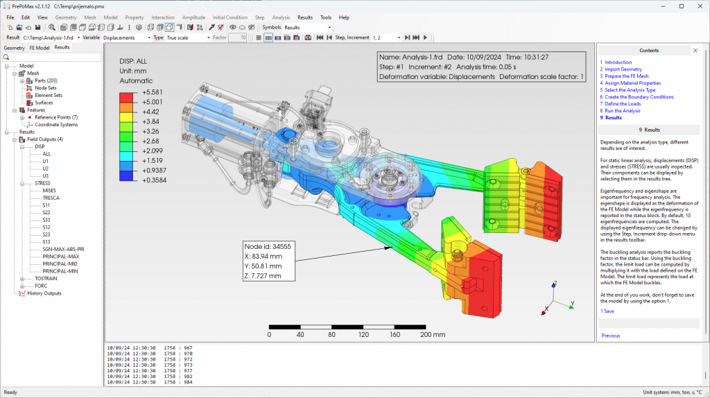
An open-source pre- and post-processor for the CalculiX finite element solver. It combines CAD geometry import, finite element mesh generation, model region selection and result visualisation in a single graphical interface. It is suitable for mechanical and civil engineers, researchers and students learning the finite element method. For example, you can prepare a model to study a connection under load and compare the resulting stress and displacement distributions. Three-dimensional result views, animations and history plots help interpret the analysis. Reliable results depend on correctly defining materials, the mesh and boundary conditions.
Official Website and Download →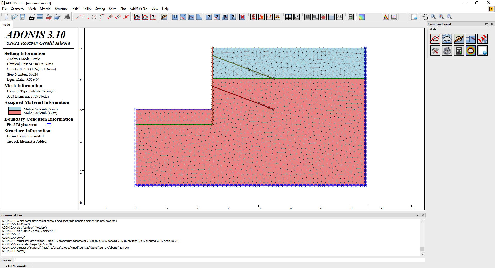
Free engineering software for linear and nonlinear finite element analysis of geotechnical problems. Its graphical interface supports model preparation, automatic mesh generation and review of calculation results. It is useful for geotechnical engineers, soil mechanics researchers and students. It can assess loading effects in soil or rock and compare how material properties and boundary conditions affect the model. Coloured result maps and deformation plots help interpret calculations. Before using results for project decisions, verify the model assumptions and results through appropriate engineering checks.
Official Website and Download →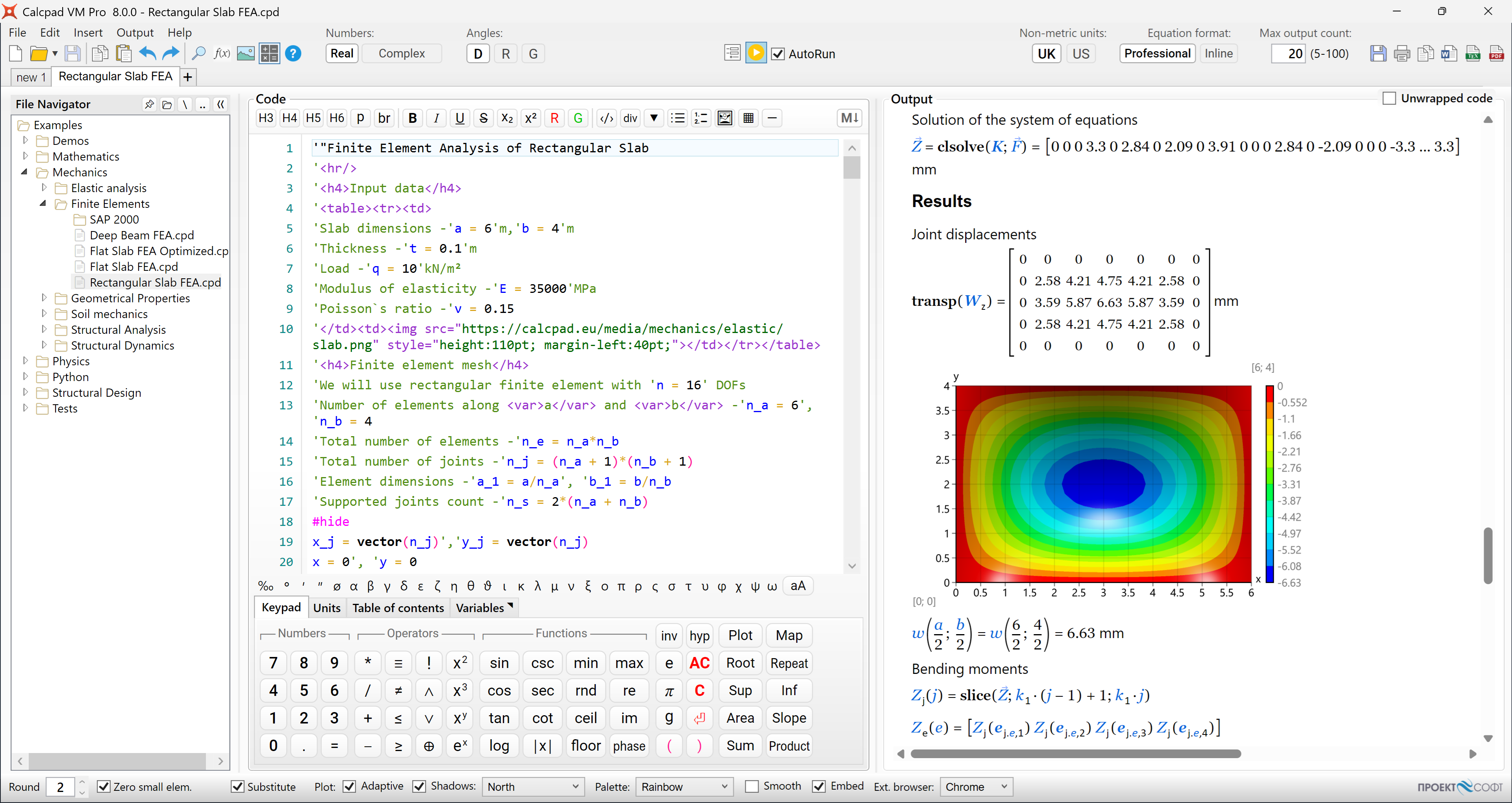 Example of the Calcpad interface; the image is from the current Pro documentation. Features of the free version may differ.
A tool for writing engineering calculations with formulas, variables, units and explanations, and turning them into reusable calculation sheets. Change parameters to rerun the same calculation for different project conditions and present the results in a structured report. It is useful for engineers performing recurring calculations, teachers preparing worked examples and students who want to show their calculation steps clearly. For example, you can create a template for varying dimensions, loads or material data and keep the method and results in the same document. The free and paid Professional editions are offered separately; select the free edition on the download page.
Official Website and Download →Send us the software name, official website and an explanation of where it is useful. State any free-use conditions or demo restrictions. Recommendations are published after editorial review; your email address will not be displayed.