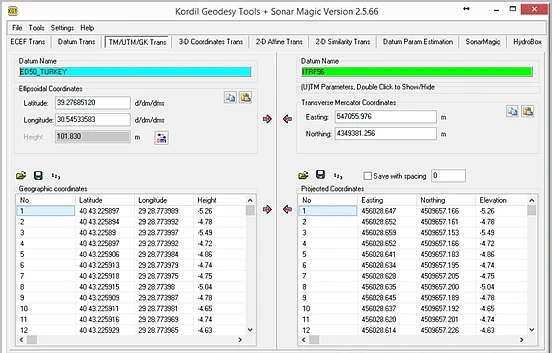
Coordinate and datum transformations, ECEF, TM/UTM, similarity and affine transformations with Kordil Geodesy Tools. Advanced English user manual, worked examples and the original Turkish PDF.
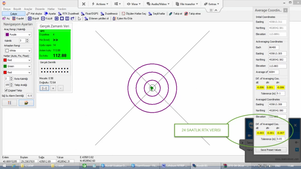
A field report on monitoring building movements with RTK GNSS, including data filtering, coordinate comparison and interpretation of results.
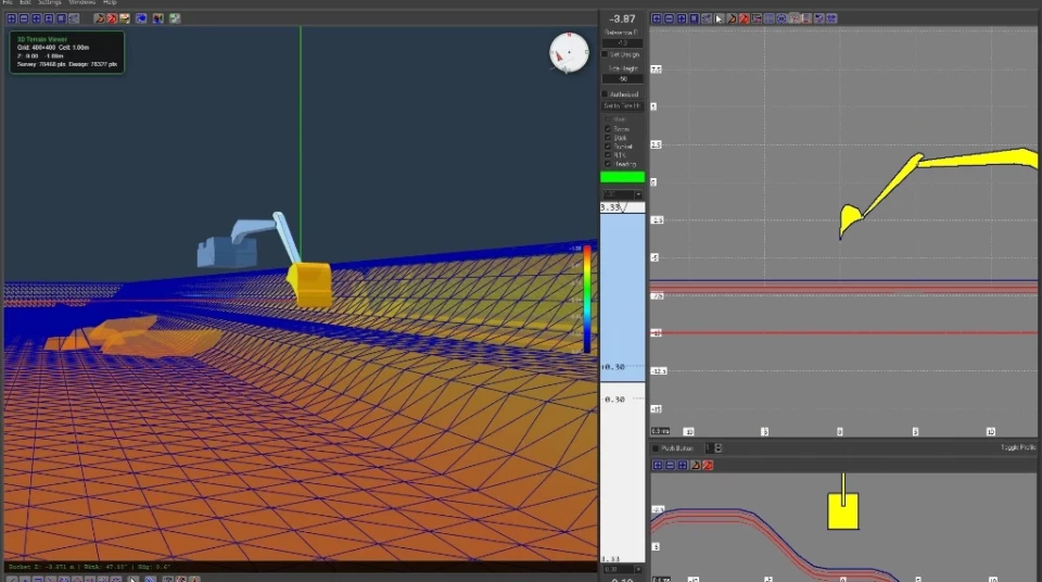
User and field manual for Kordil EPS and CPS: installation, GNSS, project data, operator workflows, calibration, maintenance and troubleshooting. English web manual and the original Turkish PDF.
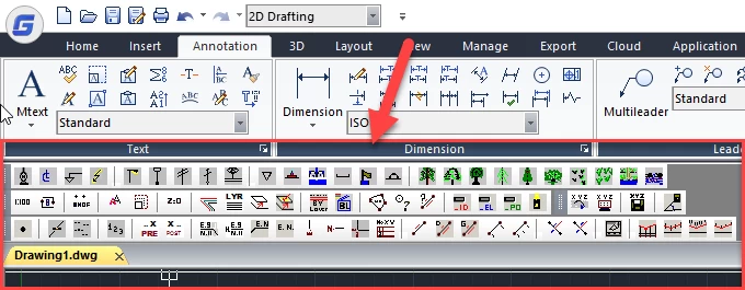
Kordil AcadTRK AutoLISP tools: open-source software for coordinate exchange, setting out, elevation annotation, profiles, area calculation and CAD drawing.
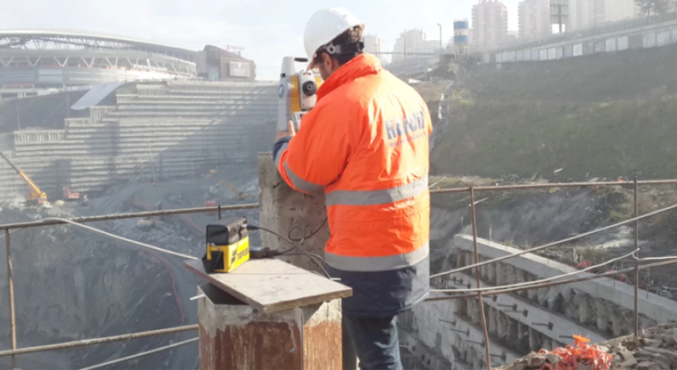
Retaining wall deformation monitoring with a total station: reference network, prism observations, least-squares adjustment and displacement reports.
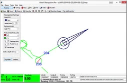
KBS version 5 manual: navigation, bathymetric data recording, sensor offsets, coordinate transformations and single-beam depth-data processing.
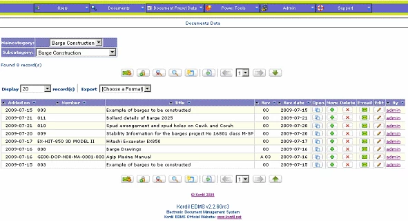
Kordil EDMS document management system: revision tracking, user permissions, document search and an open-source software archive.
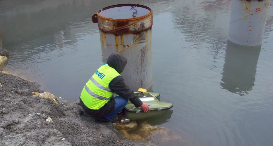
Bathymetric surveying with the Kordil RC remotely controlled survey craft: GNSS positioning, depth measurement, calibration and data processing.